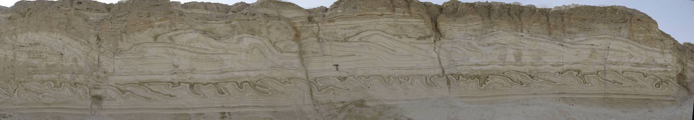

We use airborne laser scanning to characterize surface processes in response to the receding Dead Sea level, in particular the formation of shorelines, sinkholes, and channel incision in recently-exposed terrain.
Partners: Yoav Avni, Revital Bookman, and Sagi Filin, who analyzed the scanning data (Technion) with his students Amit Baruch, Smadar Morik, and Reuma Arav.
Publications
- Filin, S., Baruch, A., Avni, Y., and Marco, S., 2011, Sinkhole characterization in the Dead Sea area using airborne laser scanning: Natural Hazards, v. 58, pg 1135-1154. doi: 10.1007/s11069-011-9718-7. pdf
- Filin, S., Baruch, A., Morik, S., Avni, Y., and Marco, S., 2010, Characterization of land degradation processes using airborne laser scanning: International Archives of the Photogrammetry, Remote Sensing and Spatial Information Science, v. XXXVIII, Part 8, p. 883-888. pdf
- Filin, S., Baruch, A., Morik, S., Avni, Y., and Marco, S., 2012, Use of airborne laser scanning to characterise land degradation processes – the Dead Sea as a case study: Survey Review, v. 44, p. 84-90 (DOI: 10.1179/1752270611Y.0000000001) pdf
- Filin, S., Avni, Y., Baruch, A., Morik, S., Arav, R., and Marco, S., 2014, Characterization of land degradation along the receding Dead Sea coastal zone using airborne laser scanning: Geomorphology, v. 206, no. 0, p. 403-420. http://dx.doi.org/10.1016/j.geomorph.2013.10.013. pdf
- Bookman, R., Filin, S., Avni, Y., Rosenfeld, D., and Marco, S., 2014, Possible connection between large volcanic eruptions and level rise episodes in the Dead Sea Basin: Quaternary Science Reviews, v. 89, p. 123-128. http://dx.doi.org/10.1016/j.quascirev.2014.02.009. pdf


46 - 46
<
>